Thoissey / Trévoux

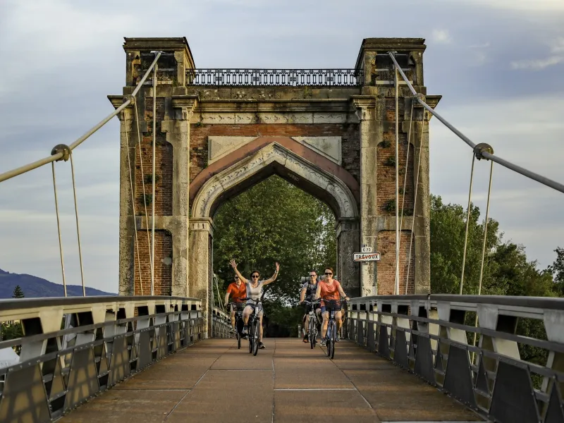
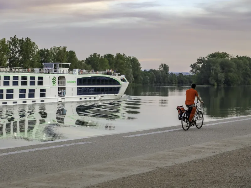
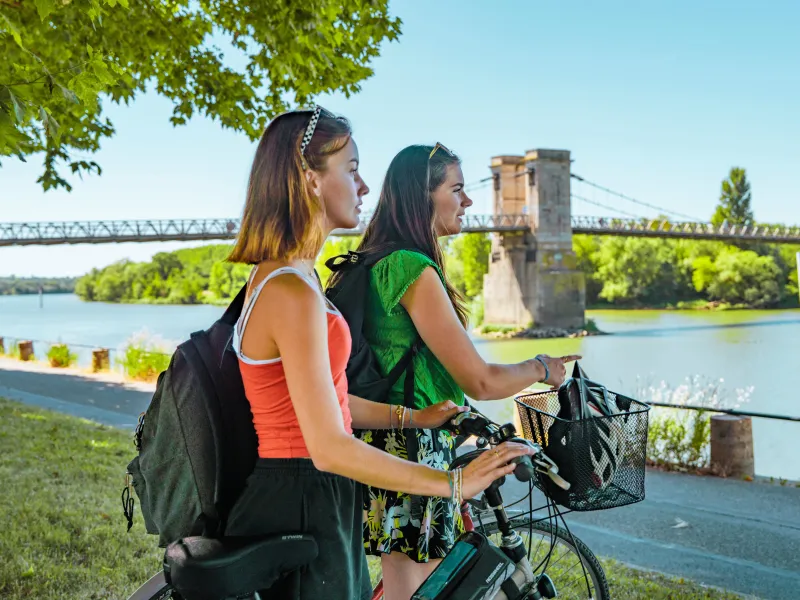
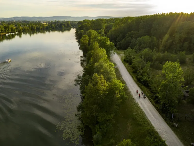

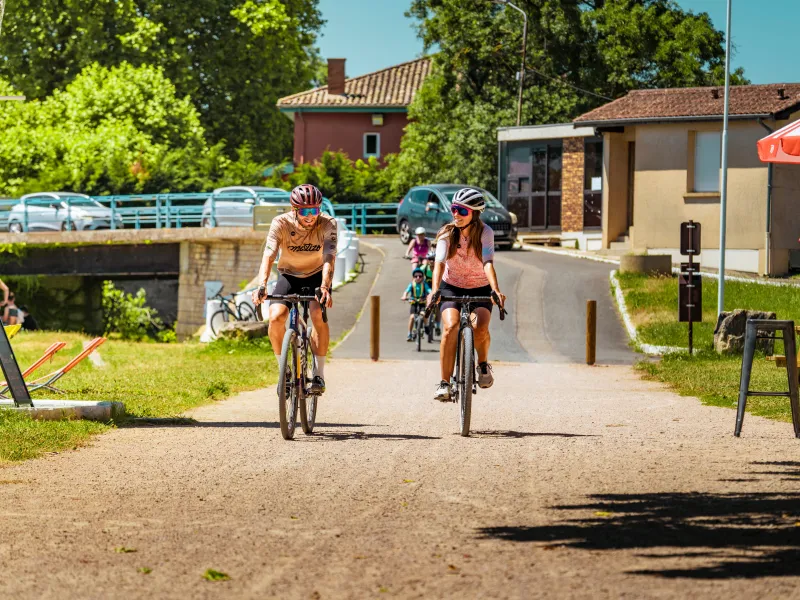
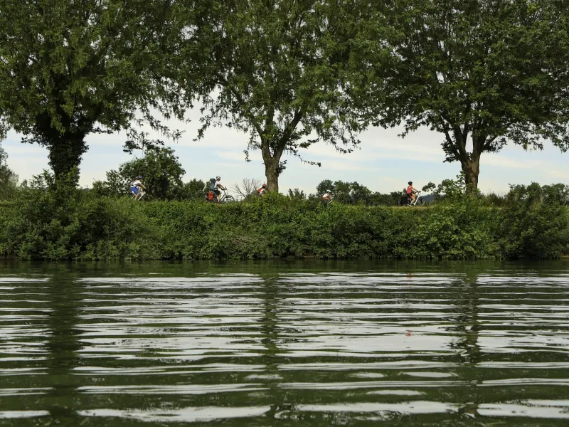
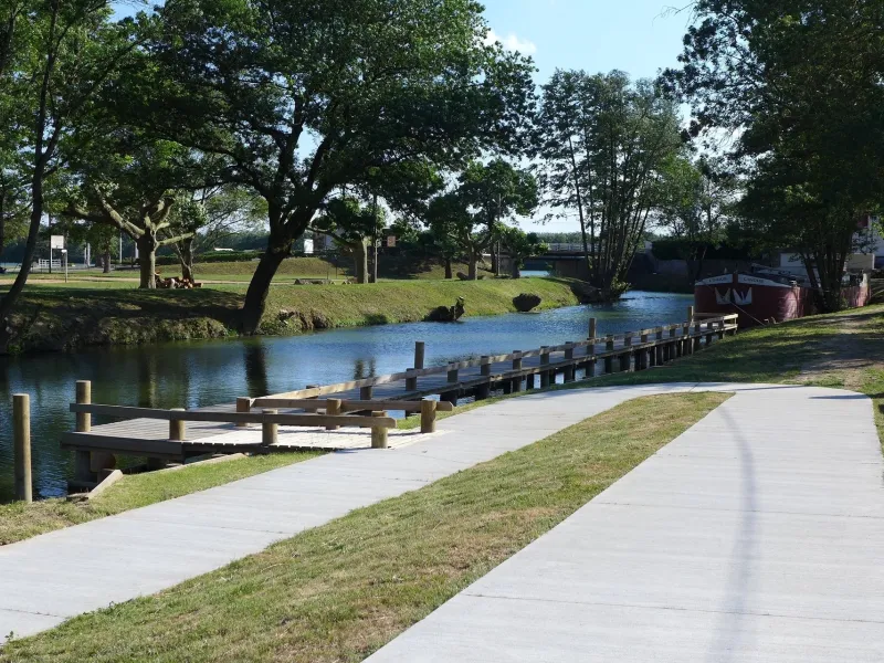
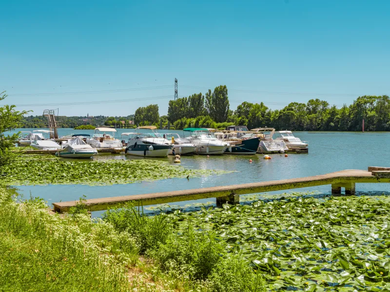
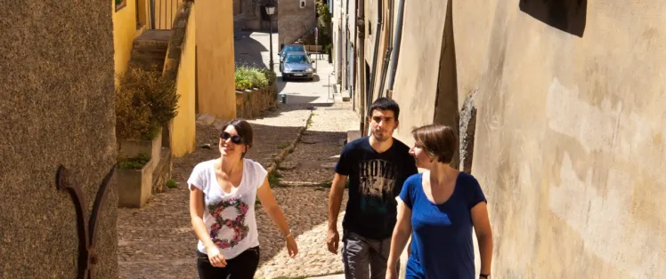
From Thoissey, head for Trévoux by bike, enjoying the natural setting of the towpath down the Saône Valley, the Beaujolais hills opposite. Along the route, several unmissable cultural and gastronomic sites compete for your attention. If a fan of water sports, try canoeing on the river, or going for a dip in the Saône at one of the specially laid-out spots. Visit the remarkable châteaux in these parts, and eat at the outdoor summer riverside restaurants, guinguettes. Trévoux is a little old town full of surprising discoveries – this was once historic capital of the tiny Principality of Dombes.
Gradients and elevation
Road types
Surface
The route
For the time being, between Mâcon and Massieux, there’s no signposting for cyclists (although this should be put in place by the end of 2021), so we recommend you use GPX tracks.
The route follows the towpath (pebbly in parts). Some portions will undergo major renovation works in the course of 2021, along the stretch from Saint-Didier to Chalaronne – Messimy, overseen by the Communauté de Communes Val de Saône Centre.
Please note:
Very narrow stretch passing through southern Fareins, arriving at Beauregard (works to widen the track are in the planning for 2020-2021, overseen by the Communauté de Communes Dombes Saône Vallée).
Take care along the stretch on the D933B road (for c.400m) at the level of the centre of Jassans-Riottier.
Warning: even along those stretches closed to motorized traffic, you may occasionally encounter locals’ and anglers’ cars or service vehicles. There are barriers in place at certain points; the track at these points can be narrow if you have panniers on your bike or a trailer.
SNCF (French national railways network)
TER line Dijon <> Mâcon <> Lyon
Don't miss
- Water gardens of Saint-Didier-sur-Chalaronne: Zen park with plant heritage and Koi carp.
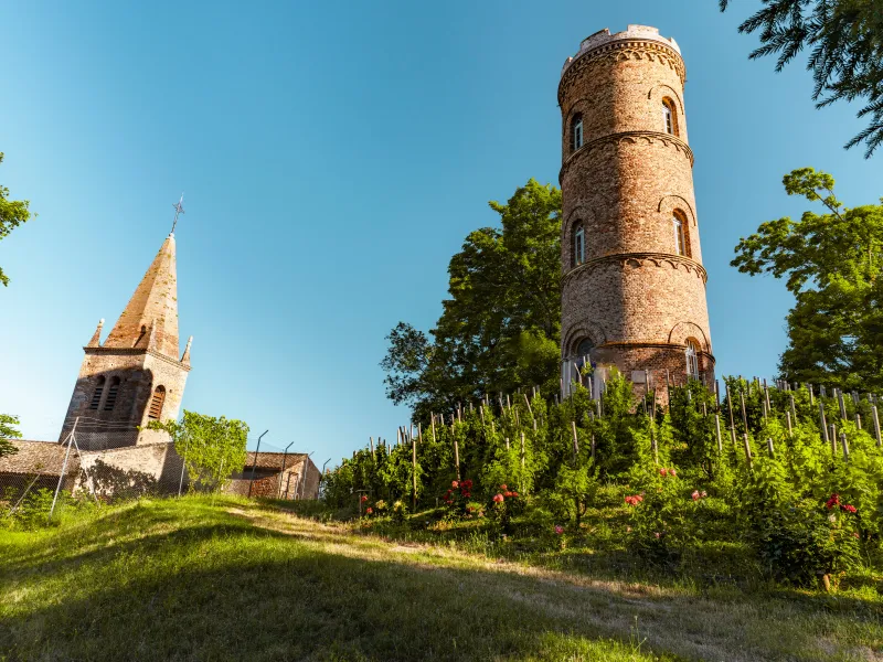
- Montmerle: tower and chapel of the Minimes on the site of the former castle.
- Château de Fléchères in Fareins: 17th century castle with its Italian frescoes from 1632 and period furniture.
- Villefranche-sur-Saône: Renaissance architecture and shops in the historic centre. Gateway to the Unesco Global Geopark of Beaujolais.
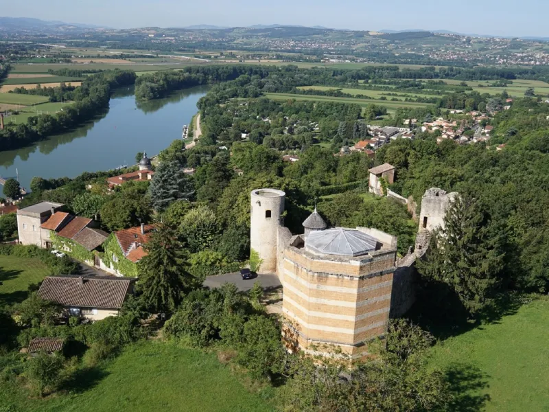
- Saint-Bernard: medieval church and castle.
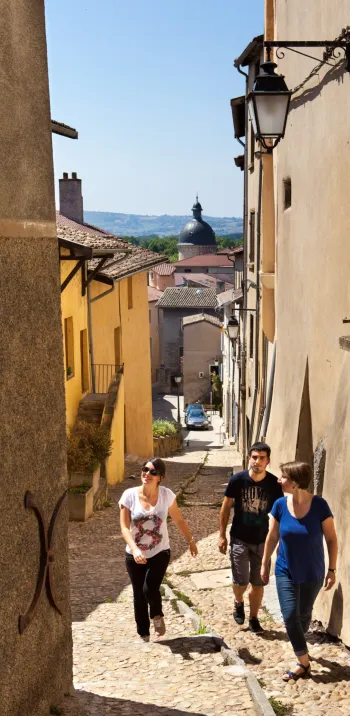
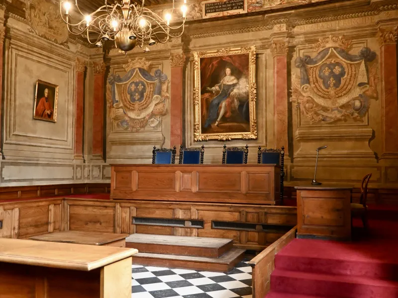
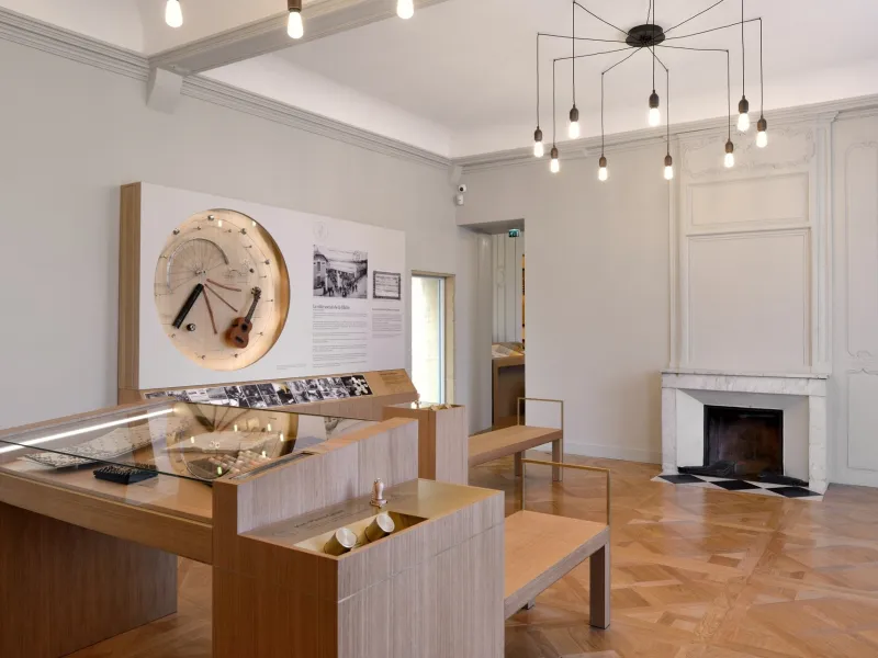
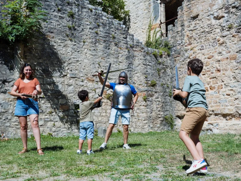
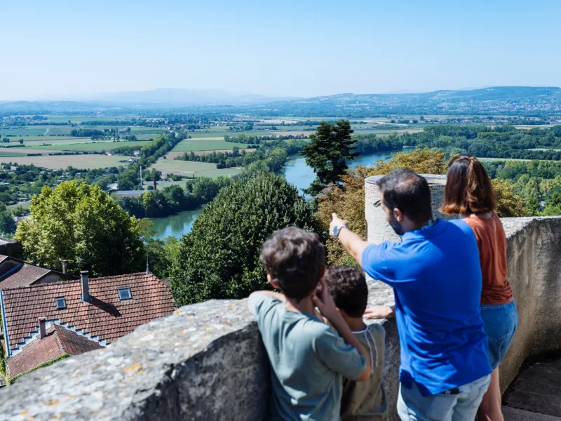
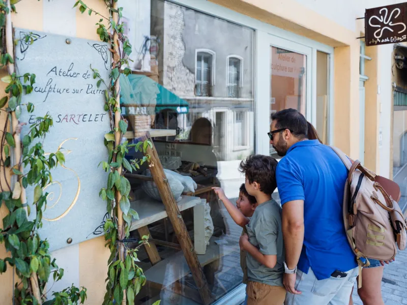
- Trévoux: medieval town, fortified castle, Dombes Parliament and museums. Les Cascades swimming area, media library, La Passerelle cinema.